25.1.6. レイヤツール
25.1.6.1. Export layer(s) information
NEW in 3.18
Creates a polygon layer with features corresponding to the extent of selected layer(s).
Additional layer details (CRS, provider name, file path, layer name, subset filter, abstract and attribution) are attached as attributes to each feature.
パラメータ
ラベル |
名前 |
データ型 |
説明 |
|---|---|---|---|
Input layers |
|
[vector: any][list] |
Input vector layers to get information on. |
Output |
|
[ベクタ:ポリゴン] デフォルト: |
Specification of the output layer with information. One of:
ここでファイルの文字コードを変更することもできます。 |
出力
ラベル |
名前 |
データ型 |
説明 |
|---|---|---|---|
Output |
|
[ベクタ:ポリゴン] |
Polygon vector layer showing extent of input layers and associated information in attributes. |
Python コード
Algorithm ID: native:exportlayersinformation
import processing
processing.run("algorithm_id", {parameter_dictionary})
algorithm id は、プロセシングツールボックス内でアルゴリズムにマウスカーソルを乗せた際に表示されるIDです。 parameter dictionary は、パラメータの「名前」とその値を指定するマッピング型です。Python コンソールからプロセシングアルゴリズムを実行する方法の詳細については、 プロセシングアルゴリズムをコンソールから使う を参照してください。
25.1.6.2. Export to spreadsheet
Exports the attributes of a selection of vector layers into a spreadsheet document or optionally appends them to an existing spreadsheet as additional sheets.
パラメータ
ラベル |
名前 |
データ型 |
説明 |
|---|---|---|---|
Input layers |
|
[vector: any][list] |
Input vector layers. The output spreadsheet will consist of a sheet, for each layer, that contains the attributes of this layer. |
Use field aliases as column headings |
|
[boolean] Default: False |
Use the field aliases from the attribute table for the spreadsheet. |
Export formatted values instead of raw values |
|
[boolean] Default: False |
If |
Overwrite existing spreadsheet |
|
[boolean] Default: True |
If the specified spreadsheet exists, setting this option to |
Destination spreadsheet |
|
[file] Default: |
Output spreadsheet with a sheet for every layer. One of:
|
出力
ラベル |
名前 |
データ型 |
説明 |
|---|---|---|---|
Destination spreadsheet |
|
[file] |
Spreadsheet with a sheet for every layer. |
Layers within spreadsheet |
|
[list] |
The list of sheets added to the spreadsheet. |
Python コード
Algorithm ID: native:exporttospreadsheet
import processing
processing.run("algorithm_id", {parameter_dictionary})
algorithm id は、プロセシングツールボックス内でアルゴリズムにマウスカーソルを乗せた際に表示されるIDです。 parameter dictionary は、パラメータの「名前」とその値を指定するマッピング型です。Python コンソールからプロセシングアルゴリズムを実行する方法の詳細については、 プロセシングアルゴリズムをコンソールから使う を参照してください。
25.1.6.3. レイヤ範囲の抽出
入力地物の全てを覆う最小のバウンディングボックス(南北方向の長方形)のベクタレイヤを生成します。
出力レイヤに含まれるのは、入力レイヤ全体に対するただ一つのバウンディングボックスです。
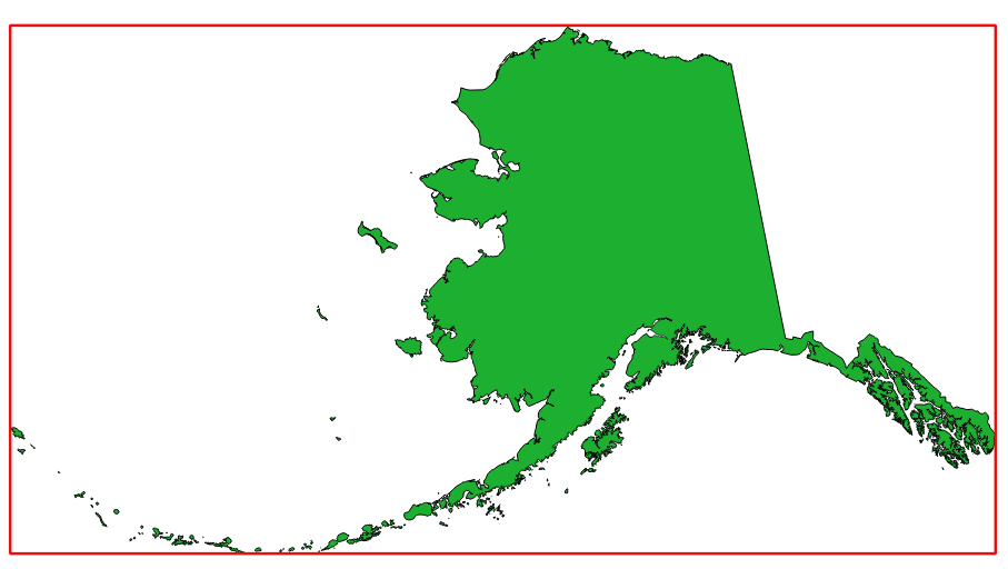
図 25.7 ソースレイヤのバウンディングボックス(赤色の線)
デフォルトメニュー :
パラメータ
ラベル |
名前 |
データ型 |
説明 |
|---|---|---|---|
入力レイヤ |
|
[レイヤ] |
入力レイヤ |
領域 |
|
[ベクタ:ポリゴン] デフォルト: |
結果の領域ポリゴンベクタレイヤを指定します。次のいずれかです:
ここでファイルの文字コードを変更することもできます。 |
出力
ラベル |
名前 |
データ型 |
説明 |
|---|---|---|---|
領域 |
|
[ベクタ:ポリゴン] |
範囲(最小バウンディングボックス)の出力(ポリゴン)ベクタレイヤ |
Python コード
アルゴリズムID: qgis:polygonfromlayerextent
import processing
processing.run("algorithm_id", {parameter_dictionary})
algorithm id は、プロセシングツールボックス内でアルゴリズムにマウスカーソルを乗せた際に表示されるIDです。 parameter dictionary は、パラメータの「名前」とその値を指定するマッピング型です。Python コンソールからプロセシングアルゴリズムを実行する方法の詳細については、 プロセシングアルゴリズムをコンソールから使う を参照してください。