25.1.6. 레이어 도구
25.1.6.1. Export layer(s) information
NEW in 3.18
Creates a polygon layer with features corresponding to the extent of selected layer(s).
Additional layer details (CRS, provider name, file path, layer name, subset filter, abstract and attribution) are attached as attributes to each feature.
파라미터
라벨 |
명칭 |
유형 |
설명 |
|---|---|---|---|
Input layers |
|
[vector: any][list] |
Input vector layers to get information on. |
Output |
|
[vector: polygon] 기본값: |
Specification of the output layer with information. One of:
이 파라미터에서 파일 인코딩도 변경할 수 있습니다. |
산출물
라벨 |
명칭 |
유형 |
설명 |
|---|---|---|---|
Output |
|
[vector: polygon] |
Polygon vector layer showing extent of input layers and associated information in attributes. |
파이썬 코드
Algorithm ID: native:exportlayersinformation
import processing
processing.run("algorithm_id", {parameter_dictionary})
공간 처리 툴박스에 있는 알고리즘 위에 마우스를 가져가면 알고리즘 ID 를 표시합니다. 파라미터 목록(dictionary) 은 파라미터 명칭 및 값을 제공합니다. 파이썬 콘솔에서 공간 처리 알고리즘을 어떻게 실행하는지 자세히 알고 싶다면 콘솔에서 공간 처리 알고리즘 사용 을 참조하세요.
25.1.6.2. Export to spreadsheet
Exports the attributes of a selection of vector layers into a spreadsheet document or optionally appends them to an existing spreadsheet as additional sheets.
파라미터
라벨 |
명칭 |
유형 |
설명 |
|---|---|---|---|
Input layers |
|
[vector: any][list] |
Input vector layers. The output spreadsheet will consist of a sheet, for each layer, that contains the attributes of this layer. |
Use field aliases as column headings |
|
[boolean] Default: False |
Use the field aliases from the attribute table for the spreadsheet. |
Export formatted values instead of raw values |
|
[boolean] Default: False |
If |
Overwrite existing spreadsheet |
|
[boolean] Default: True |
If the specified spreadsheet exists, setting this option to |
Destination spreadsheet |
|
[file] Default: |
Output spreadsheet with a sheet for every layer. One of:
|
산출물
라벨 |
명칭 |
유형 |
설명 |
|---|---|---|---|
Destination spreadsheet |
|
[file] |
Spreadsheet with a sheet for every layer. |
Layers within spreadsheet |
|
[list] |
The list of sheets added to the spreadsheet. |
파이썬 코드
Algorithm ID: native:exporttospreadsheet
import processing
processing.run("algorithm_id", {parameter_dictionary})
공간 처리 툴박스에 있는 알고리즘 위에 마우스를 가져가면 알고리즘 ID 를 표시합니다. 파라미터 목록(dictionary) 은 파라미터 명칭 및 값을 제공합니다. 파이썬 콘솔에서 공간 처리 알고리즘을 어떻게 실행하는지 자세히 알고 싶다면 콘솔에서 공간 처리 알고리즘 사용 을 참조하세요.
25.1.6.3. 레이어 범위 추출하기
모든 입력 레이어를 커버하는 최소 경계 상자(북-남 방향의 직사각형)를 가진 벡터 레이어를 생성합니다.
산출 레이어는 입력 레이어 전체의 경계 상자 하나를 담고 있습니다.
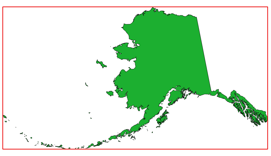
그림 25.7 소스 레이어의 빨간색 경계 상자
기본 메뉴:
파라미터
라벨 |
명칭 |
유형 |
설명 |
|---|---|---|---|
Layer |
|
[layer] |
입력 레이어 |
Extent |
|
[vector: polygon] 기본값: |
산출물 범위용 폴리곤 벡터 레이어를 지정합니다. 다음 가운데 하나로 저장할 수 있습니다:
이 파라미터에서 파일 인코딩도 변경할 수 있습니다. |
산출물
라벨 |
명칭 |
유형 |
설명 |
|---|---|---|---|
Extent |
|
[vector: polygon] |
범위를 (최소 경계 상자를) 가진 산출물 (폴리곤) 벡터 레이어 |
파이썬 코드
알고리즘 ID: qgis:polygonfromlayerextent
import processing
processing.run("algorithm_id", {parameter_dictionary})
공간 처리 툴박스에 있는 알고리즘 위에 마우스를 가져가면 알고리즘 ID 를 표시합니다. 파라미터 목록(dictionary) 은 파라미터 명칭 및 값을 제공합니다. 파이썬 콘솔에서 공간 처리 알고리즘을 어떻게 실행하는지 자세히 알고 싶다면 콘솔에서 공간 처리 알고리즘 사용 을 참조하세요.