17.2. Câteva lucruri importante de reținut, înainte de a începe
Just like the manual of a word processor doesn’t teach you how to write a novel or a poem, or a CAD tutorial doesn’t show you how to calculate the size of a beam for a building, this guide will not teach you spatial analysis. Instead, it will show you how to use the QGIS Processing framework, a powerful tool for performing spatial analysis. It is up to you to learn the required concepts that are needed to understand that type of analysis. Without them, there is no point in using the framework and its algorithms, although you might be tempted to try.
Haideți să vedem, pentru mai multă claritate, un exemplu.
Având în vedere un set de puncte și, pentru fiecare punct, o anumită valoare, cu ajutorul geoalgoritmului Kriging se poate calcula un strat raster. Caseta de dialog a parametrilor pentru acel modul este similară celei de mai jos.
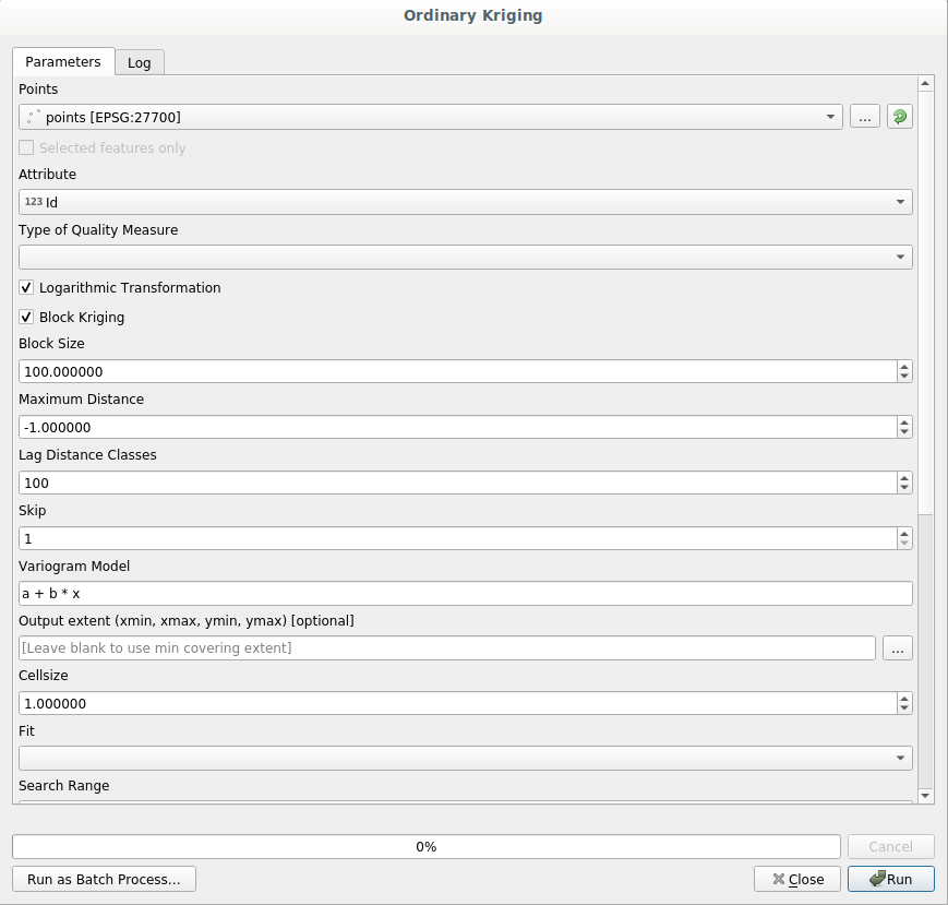
It looks complex, right?
By reading this manual, you will learn things such as how to use that module, how to run it in a batch process to create raster layers from hundreds of points layers in a single run, or what happens if the input layer has some points selected. However, the parameters themselves are not explained. A seasoned analyst with a good knowledge of geostatistics will have no problem understanding those parameters. If you are not one of them and sill, range, or nugget are not familiar concepts to you, then you should not use the Kriging module. More than that, you are far from being ready to use the Kriging module, since it requires learning about concepts such as spatial autocorrelation or semivariograms, which probably you also haven’t heard before, or at least haven’t studied long enough. You should first study and understand them, and then come back to QGIS to actually run it and perform the analysis. Ignoring this will result in wrong results and poor (and most likely useless) analysis.
Deși nu toți algoritmii sunt la fel de complecși ca și algoritmul kriging (unii dintre ei având o complexitate chiar mai mare!), aproape toți necesită o bună înțelegere a metodelor fundamentale de analiză, pe care se bazează. Fără acea cunoaștere, folosirea lor va conduce, cel mai probabil, la rezultate slabe.
Using geoalgorithms without having a good foundation of spatial analysis is like trying to write a novel without knowing anything about grammar or syntax, and having no knowledge about storytelling. You might get a result, but it is likely to have no value at all. Please, don’t fool yourself and think that after reading this guide you are already capable of performing spatial analysis and get sound results. You need to study spatial analysis as well.
În continuare, este indicat un bun punct de referință, la care vă puteți raporta pentru a afla mai multe despre analiza datelor spațiale.
Analize geospațiale (a 3-a Ediție): Un Ghid Cuprinzător de Principii, Tehnici și Instrumente Software, Michael John De Smith, Michael F. Goodchild, Paul A. Longley
It is available online here