4. Catalog
The QGIS Server Catalog is a simple catalog that shows the list of QGIS projects
served by the QGIS Server. It provides a user-friendly fully
browsable website with basic mapping capabilities to quickly browse the
datasets exposed through those QGIS projects. The catalog can be configured using
the environment variables starting with QGIS_SERVER_LANDING_PAGE (see Environment variables).
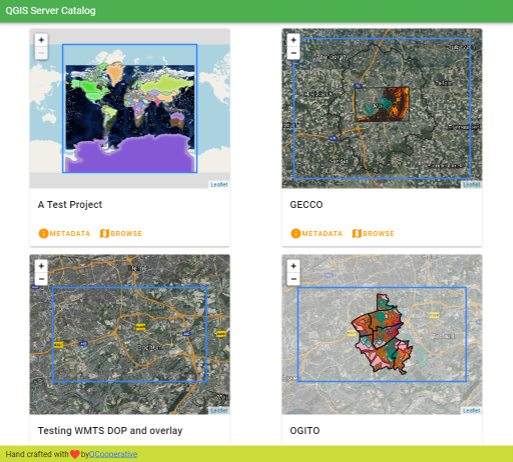
Fig. 4.3 Server Catalog project list page
You can consult the metadata associated to a project and the services that it provides. Links to those services are also given.
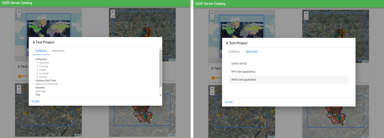
Fig. 4.4 Server Catalog, metadata associated to a project and services (links to) that it provides.
By browsing a project, it is listed the dataset that it serves.
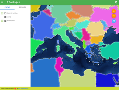
Fig. 4.5 Browsing a dataset served by a project in the Server Catalog
Use Right click on a layer to display the attribute table associated to it.
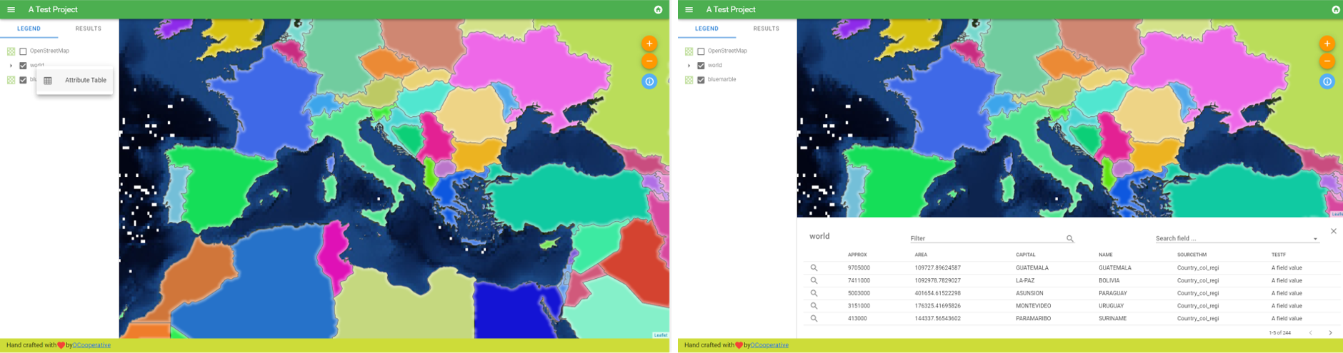
Fig. 4.6 Attribute table associated to a layer
It is possible to consult information of the elements in the map as shown in the image below:
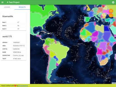
Fig. 4.7 Consulting information of a map element