重要
翻訳は あなたが参加できる コミュニティの取り組みです。このページは現在 100.00% 翻訳されています。
4. カタログ
QGIS Server カタログは、QGIS Server が提供するQGIS プロジェクトのリストを表示する簡単なカタログです。ユーザーフレンドリーで完全に閲覧可能なウェブサイトを提供し、基本的なマッピング機能を備え、QGISプロジェクトを通じて公開されているデータセットをすばやく閲覧できます。カタログは、環境変数 QGIS_SERVER_LANDING_PAGE で始まる変数を使用して設定できます(環境変数 を参照)。
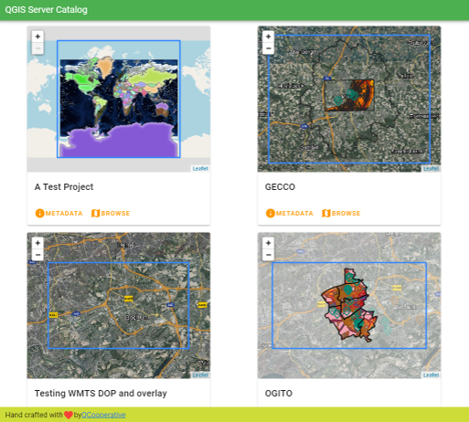
図 4.3 Serverカタログプロジェクト一覧ページ
プロジェクトに関連するメタデータや、そのプロジェクトが提供するサービスを参照することができます。これらのサービスへのリンクもあります。
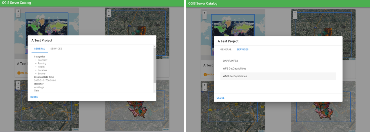
図 4.4 Serverカタログ、プロジェクトに関連するメタデータとそれが提供するサービス(へのリンク)。
プロジェクトを閲覧することにより、提供するデータセットの一覧が表示されます。
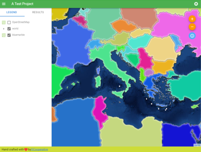
図 4.5 Serverカタログにあるプロジェクトが提供するデータセットを閲覧する
レイヤで右クリックすると、それに関連した属性テーブルを表示します
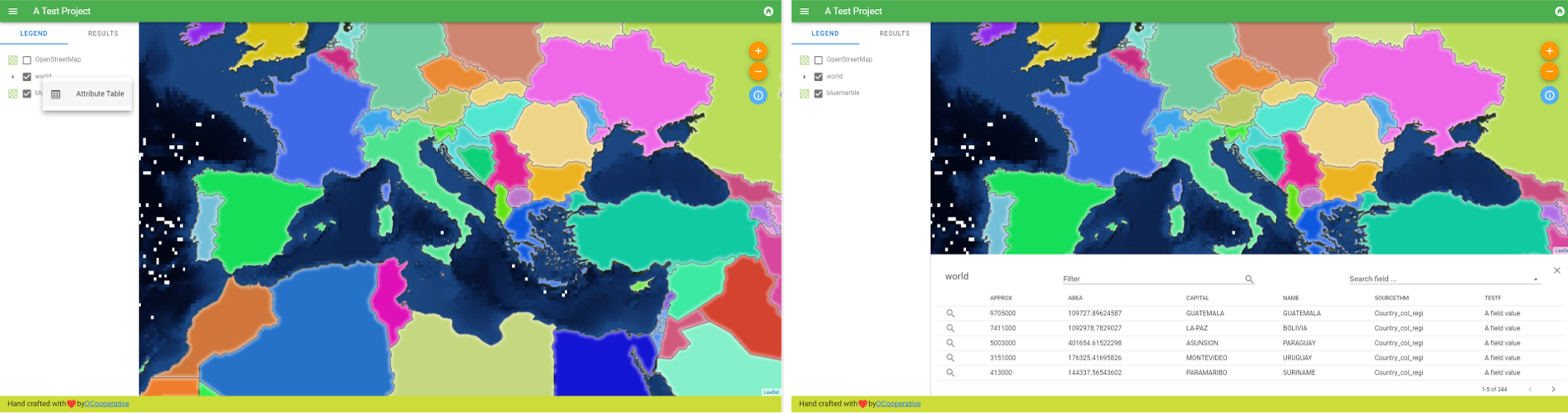
図 4.6 レイヤに関連した属性テーブル
下の画像のように、マップにある要素の情報を参照することができます:
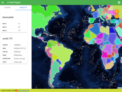
図 4.7 マップ要素の情報を参照する