Belangrijk
Vertalen is een inspanning van de gemeenschap waaraan u deel kunt nemen. Deze pagina is momenteel voor 100.00% vertaald.
4. Catalogus
De QGIS Server-catalogus is een eenvoudige catalogus die de lijst met projecten van QGIS weergeeft die worden geserveerd door de QGIS Server. Het verschaft een gebruikersvriendelijke, volledig door te bladeren website met basismogelijkheden voor in kaart brengen om snel door de gegevenssets te bladeren die worden weergegeven door deze projecten van QGIS. De catalogus kan worden geconfigureerd met de omgevingsvariabelen die beginnen met QGIS_SERVER_LANDING_PAGE (bekijk Omgevingsvariabelen).
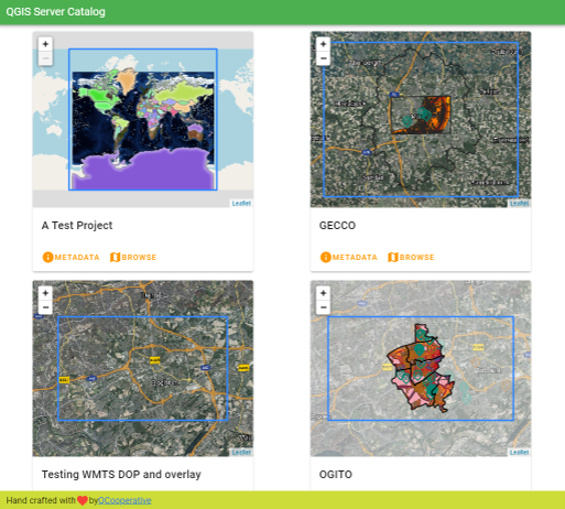
Fig. 4.3 Server-catalogus pagina met lijst projecten
U kunt de metadata raadplegen die is geassocieerd aan een project en de services die het verschaft. Koppelingen naar deze services worden ook gegeven.
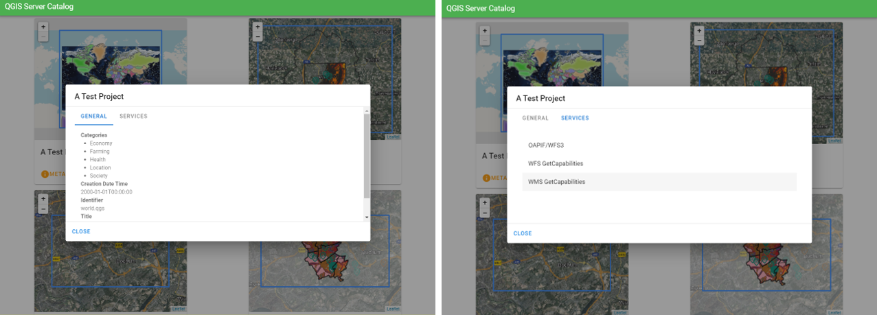
Fig. 4.4 Server-catalogus, metadata geassocieerd aan een project en services (koppelingen naar) die het verschaft.
Door door een project te bladeren vermeldt het de gegevenssets die het bevat.
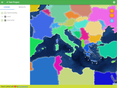
Fig. 4.5 Bladeren door een gegevensset, geserveerd door een project in de Server-catalogus
Klik met rechts om de attributentabel weer te geven die ermee is geassocieerd.
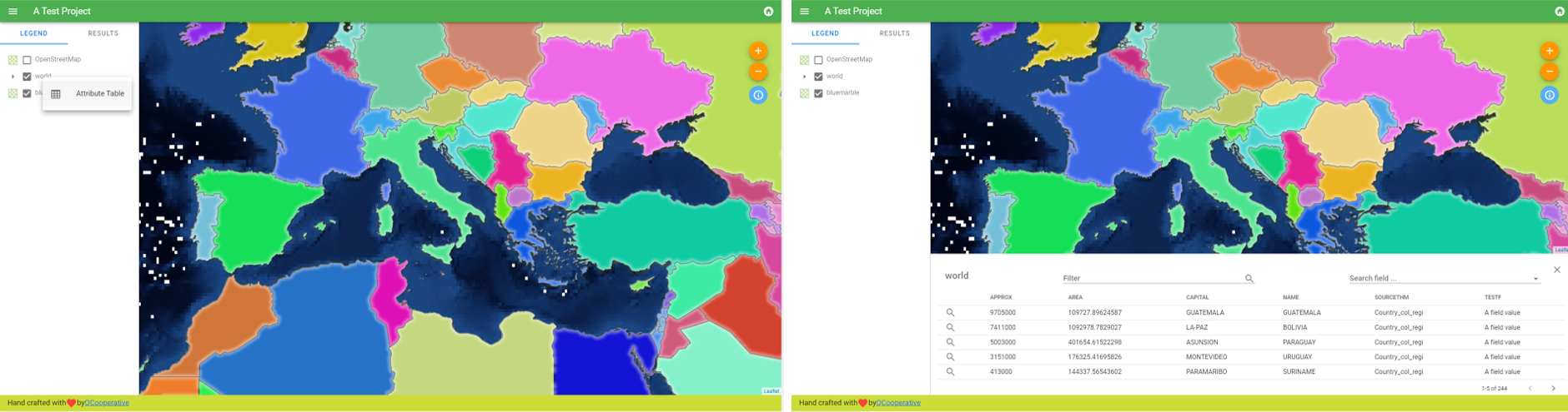
Fig. 4.6 Attributentabel geassocieerd met een laag
Het is mogelijk informatie over elementen in de kaart te raadplegen, zoals weergegeven in de afbeelding hieronder:
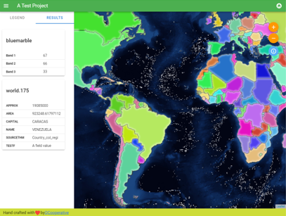
Fig. 4.7 Informatie raadplegen over een kaartelement