Important
La traduction est le fruit d’un effort communautaire auquel vous pouvez vous joindre. Cette page est actuellement traduite à 100.00%.
4. Catalogue
QGIS Server Catalog est un simple catalogue listant les projets QGIS diffusés par QGIS Server. Il offre une interface web conviviale, entièrement navigable et dotée de fonctionnalités cartographiques de base permettant de parcourir les jeux de données des projets QGIS. Le catalogue peut être configuré à l’aide de variables d’environnements commençant par QGIS_SERVER_LANDING_PAGE (voir Variables d’environnement).
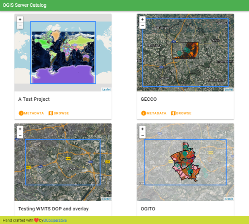
Fig. 4.3 Page listant les projets de QGIS Server Catalog
Vous pouvez consulter les métadonnées associées à un projet ainsi que les services proposés. Les liens vers ces services sont également donnés.
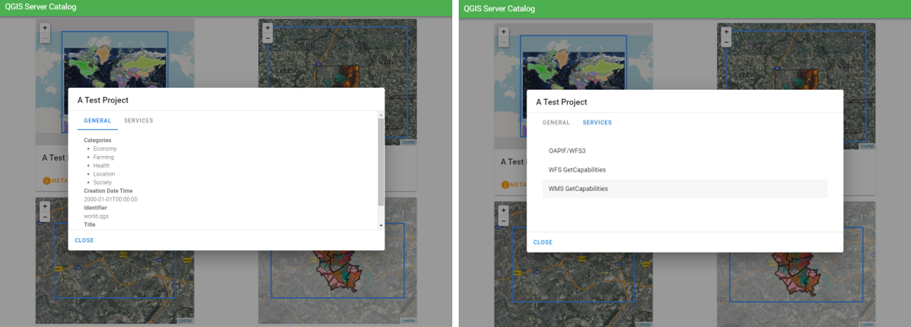
Fig. 4.4 Catalogue Serveur, métadonnées associées à un projet ainsi que les services qu’il propose.
En parcourant un projet, les jeux de données disponibles sont listés.
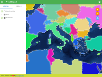
Fig. 4.5 Parcourir un jeu de données fourni par un projet dans le Catalogue Serveur
Faites un clic droit sur une couche pour afficher sa table attributaire.
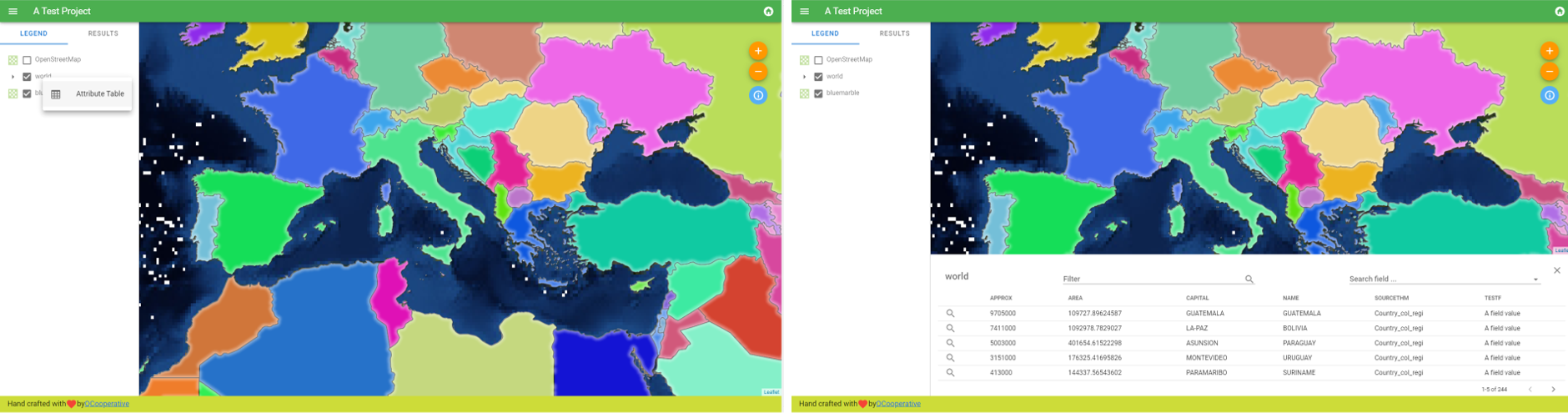
Fig. 4.6 Table d’attributs associée à la couche
Il est possible de consulter les informations des entités de la carte comme le montre l’image ci-dessous :
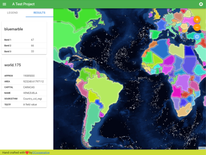
Fig. 4.7 Consulter les information d’une entité de la carte