Importante
La traducción es un esfuerzo comunitario puede unirse. Esta página está actualmente traducida en |progreso de traducción|.
4. Catalogo
El Catálogo del Servidor QGIS es un catálogo simple que muestra la lista de proyectos QGIS servidos por el Servidor QGIS. Proporciona un sitio web totalmente navegable y fácil de usar con capacidades cartográficas básicas para navegar rápidamente por los conjuntos de datos expuestos a través de esos proyectos QGIS. El catálogo puede configurarse usando las variables de entorno que empiezan por QGIS_SERVER_LANDING_PAGE (ver Variables de entorno).
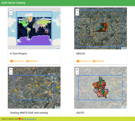
Figura 4.3 Página de lista de proyectos del catálogo de servidores
Puedes consultar los metadatos asociados a un proyecto y los servicios que presta. También se proporcionan enlaces a esos servicios.
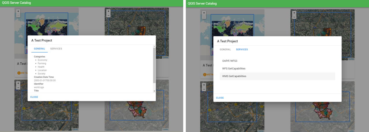
Figura 4.4 Catálogo de servidores, metadatos asociados a un proyecto y servicios (enlaces a) que proporciona.
Al navegar por un proyecto, se enumera el conjunto de datos que sirve.
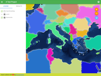
Figura 4.5 Exploración de un conjunto de datos proporcionado por un proyecto en el catálogo de servidores
Utilice el botón derecho del ratón en una capa para mostrar la tabla de atributos asociada a ella.
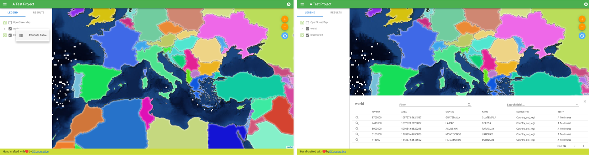
Figura 4.6 Tabla de atributos asociada a una capa
Es posible consultar información de los elementos en el mapa como se muestra en la siguiente imagen:
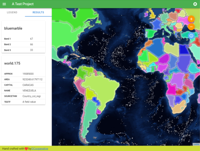
Figura 4.7 Consulta de información de un elemento del mapa