24.1.5. Layer tools
24.1.5.1. Extract layer extent
Generates a vector layer with the minimum bounding box (rectangle with N-S orientation) that covers all the input features.
The output layer contains a single bounding box for the whole input layer.
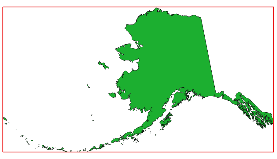
Рис. 24.7 In red the bounding box of the source layer
Default menu:
Parameters
Label |
Имя |
Тип |
Описание |
|---|---|---|---|
Layer |
|
[layer] |
Input layer |
Extent |
|
[vector: polygon] Default: |
Specify the polygon vector layer for the output extent. One of:
The file encoding can also be changed here. |
Outputs
Label |
Имя |
Тип |
Описание |
|---|---|---|---|
Extent |
|
[vector: polygon] |
Output (polygon) vector layer with the extent (minimum bounding box) |
Python code
Algorithm ID: qgis:polygonfromlayerextent
import processing
processing.run("algorithm_id", {parameter_dictionary})
The algorithm id is displayed when you hover over the algorithm in the Processing Toolbox. The parameter dictionary provides the parameter NAMEs and values. See Изпользование алгоритмов геообработки в консоли for details on how to run processing algorithms from the Python console.