24.1.5. Layer tools
24.1.5.1. Extract layer extent
Generates a vector layer with the minimum bounding box (rectangle with N-S orientation) that covers all the input features.
The output layer contains a single bounding box for the whole input layer.
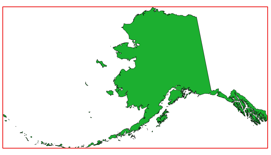
Fig. 24.7 In red the bounding box of the source layer
Default menu:
Parametri
Etichetă |
Nume |
Tipul |
Descriere |
|---|---|---|---|
Layer |
|
[layer] |
Input layer |
Extent |
|
[vector: polygon] Default: |
Specify the polygon vector layer for the output extent. One of:
The file encoding can also be changed here. |
Rezultat
Etichetă |
Nume |
Tipul |
Descriere |
|---|---|---|---|
Extent |
|
[vector: polygon] |
Output (polygon) vector layer with the extent (minimum bounding box) |
Python code
Algorithm ID: qgis:polygonfromlayerextent
import processing
processing.run("algorithm_id", {parameter_dictionary})
ID-ul algoritmului se afișează atunci când treceți peste algoritmul din caseta instrumentelor de procesare. Dicționarul parametrilor furnizează valorile și NUMELE parametrilor. Pentru detalii despre rularea algoritmilor de procesare din consola Python, parcurgeți Utilizarea algoritmilor de procesare din consolă.