Important
Traducerea este un efort al comunității, la care puteți să vă alăturați. În prezent, această pagină este tradusă 72.73%.
24.1.9. Layer tools
24.1.9.1. Export layer(s) information
Creates a polygon layer with features corresponding to the extent of selected layer(s).
Additional layer details (CRS, provider name, file path, layer name, subset filter, abstract and attribution) are attached as attributes to each feature.
Parametri
Etichetă |
Nume |
Tipul |
Descriere |
|---|---|---|---|
Straturi de intrare |
|
[layer] [list] |
Input layers to get information on. |
Rezultat |
|
[vector: poligon] Implicit: |
Specification of the output layer with information. One of:
The file encoding can also be changed here. |
Rezultat
Etichetă |
Nume |
Tipul |
Descriere |
|---|---|---|---|
Rezultat |
|
[vector: poligon] |
Polygon vector layer showing extent of input layers and associated information in attributes. |
Cod Python
ID Algorithm: nativ:exportlayersinformation
import processing
processing.run("algorithm_id", {parameter_dictionary})
ID-ul algoritmului se afișează atunci când treceți peste algoritmul din caseta instrumentelor de procesare. Dicționarul parametrilor furnizează valorile și NUMELE parametrilor. Pentru detalii despre rularea algoritmilor de procesare din consola Python, parcurgeți Utilizarea algoritmilor de procesare din consolă.
24.1.9.2. Export to spreadsheet
Exports the attributes of a selection of vector layers into a spreadsheet document or optionally appends them to an existing spreadsheet as additional sheets.
Parametri
Etichetă |
Nume |
Tipul |
Descriere |
|---|---|---|---|
Straturi de intrare |
|
[vector: oricare] [list] |
Input vector layers. The output spreadsheet will consist of a sheet, for each layer, that contains the attributes of this layer. |
Use field aliases as column headings |
|
[boolean] Implicit: False |
Use the field aliases from the attribute table for the spreadsheet. |
Export formatted values instead of raw values |
|
[boolean] Implicit: False |
If |
Overwrite existing spreadsheet |
|
[boolean] Implicit: True |
If the specified spreadsheet exists, setting this option to |
Destination spreadsheet |
|
[file] Implicit: |
Output spreadsheet with a sheet for every layer. One of:
|
Rezultat
Etichetă |
Nume |
Tipul |
Descriere |
|---|---|---|---|
Destination spreadsheet |
|
[file] |
Spreadsheet with a sheet for every layer. |
Layers within spreadsheet |
|
[list] |
The list of sheets added to the spreadsheet. |
Cod Python
ID Algorithm: nativ:exporttospreadsheet
import processing
processing.run("algorithm_id", {parameter_dictionary})
ID-ul algoritmului se afișează atunci când treceți peste algoritmul din caseta instrumentelor de procesare. Dicționarul parametrilor furnizează valorile și NUMELE parametrilor. Pentru detalii despre rularea algoritmilor de procesare din consola Python, parcurgeți Utilizarea algoritmilor de procesare din consolă.
24.1.9.3. Extragere extindere din strat
Generates a vector layer with the minimum bounding box (rectangle with N-S orientation) that covers all the input features.
The output layer contains a single bounding box for the whole input layer.
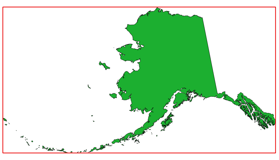
Fig. 24.29 In red the bounding box of the source layer
Default menu:
Parametri
Etichetă |
Nume |
Tipul |
Descriere |
|---|---|---|---|
Strat |
|
[strat] |
Strat de intrare |
Extindere |
|
[vector: poligon] Implicit: |
Specify the polygon vector layer for the output extent. One of:
The file encoding can also be changed here. |
Rezultat
Etichetă |
Nume |
Tipul |
Descriere |
|---|---|---|---|
Extindere |
|
[vector: poligon] |
Output (polygon) vector layer with the extent (minimum bounding box) |
Cod Python
Algorithm ID: native:polygonfromlayerextent
import processing
processing.run("algorithm_id", {parameter_dictionary})
ID-ul algoritmului se afișează atunci când treceți peste algoritmul din caseta instrumentelor de procesare. Dicționarul parametrilor furnizează valorile și NUMELE parametrilor. Pentru detalii despre rularea algoritmilor de procesare din consola Python, parcurgeți Utilizarea algoritmilor de procesare din consolă.