24.1.5. Layer tools
24.1.5.1. Extract layer extent
Generates a vector layer with the minimum bounding box (rectangle with N-S orientation) that covers all the input features.
The output layer contains a single bounding box for the whole input layer.
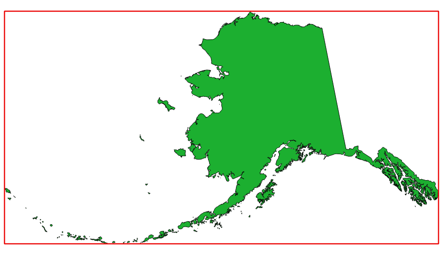
Abb. 24.7 In red the bounding box of the source layer
Default menu:
Parameter
Label |
Name |
Type |
Beschreibung |
|---|---|---|---|
Layer |
|
[layer] |
Input layer |
Extent |
|
[vector: polygon] Default: |
Specify the polygon vector layer for the output extent. One of:
The file encoding can also be changed here. |
Ausgaben
Label |
Name |
Type |
Beschreibung |
|---|---|---|---|
Extent |
|
[vector: polygon] |
Output (polygon) vector layer with the extent (minimum bounding box) |
Python code
Algorithm ID: qgis:polygonfromlayerextent
import processing
processing.run("algorithm_id", {parameter_dictionary})
The algorithm id is displayed when you hover over the algorithm in the Processing Toolbox. The parameter dictionary provides the parameter NAMEs and values. See Verarbeitung Algorithmen von der Konsole aus verwenden for details on how to run processing algorithms from the Python console.