Svarbu
Vertimas yra bendruomenės pastangos, prie kurių jūs galite prisijungti. Šis puslapis šiuo metu išverstas 100.00%.
4. Katalogas
QGIS Serverio katalogas yra paprastas katalogas, kuriame yra sąrašas QGIS serverio teikiamų QGIS projektų. Jis teikia naudotojui draugišką ir pilnai naršomą svetainę su bazinėmis žemėlapių galimybėmis, leidžiančiomis greitai naršyti duomenų rinkinius, prieigą prie kurių teikia QGIS projektai. Katalogą galima konfigūruoti naudojant aplinkos kintamuosius, prasidedančius su QGIS_SERVER_LANDING_PAGE (žr. Aplinkos kintamieji).
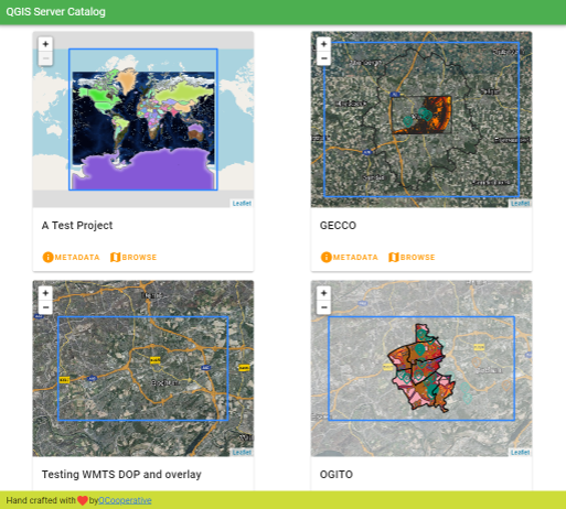
Fig. 4.4 Serverio katalogo projektų sąrašo puslapis
Galia peržvelgti su projektu susijusius metaduomenis ir jo teikiamas paslaugas. Taipogi pateikiamos nuorodos į tas paslaugas.
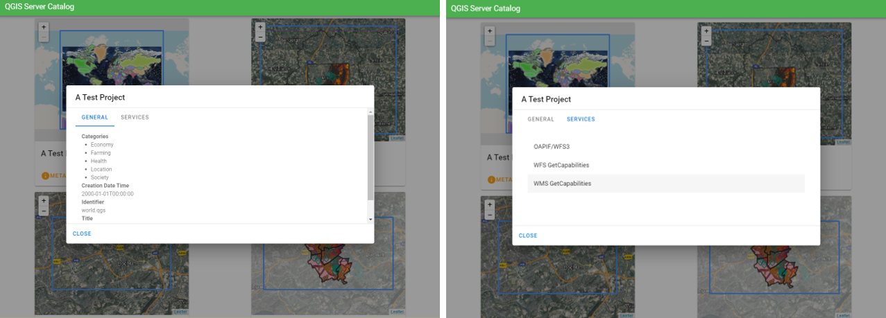
Fig. 4.5 Serverio katalogas, su projektu susiję metaduomenys ir jo teikiamos paslaugos (ir nuorodos į jas).
Naršant projektą matome jo teikiamus duomenų rinkinius.
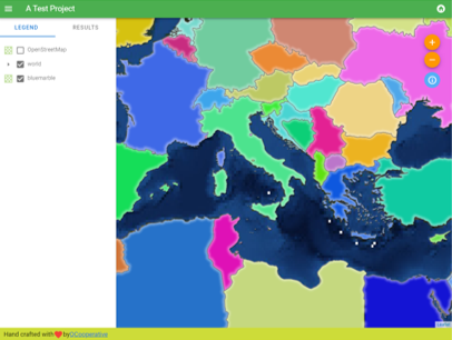
Fig. 4.6 Projekto teikiamų duomenų rinkinių naršymas Serverio kataloge
Paspaudus dešinį pelės mygtuką ant sluoksnio galima rodyti su juo susijusių atributų lentelę.
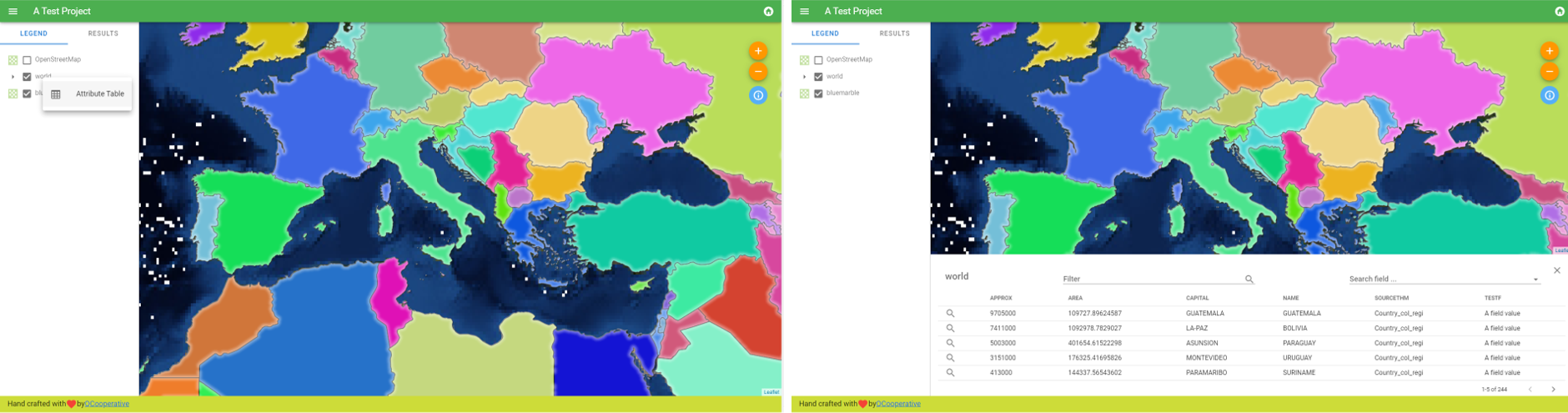
Fig. 4.7 Su sluoksniu susijusi atributų lentelė
Galima peržiūrėti elementų informaciją žemėlapyje, kaip pateikiama piešinyje žemiau:
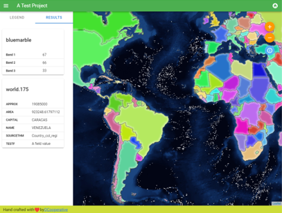
Fig. 4.8 Žemėlapio elemento informacijos peržiūra