4. Catálogo
The QGIS Server Catalog is a simple catalog that shows the list of QGIS projects served by the QGIS Server. It provides a user-friendly fully browsable website with basic mapping capabilities to quickly browse the datasets exposed through those QGIS projects.
The QGIS Server catalog uses the variables QGIS_SERVER_LANDING_PAGE_PROJECTS_DIRECTORIES and QGIS_SERVER_LANDING_PAGE_PROJECTS_PG_CONNECTIONS (see Variáveis ambientais)
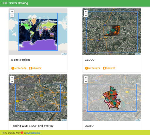
Fig. 4.1 Server Catalog project list page
Você pode consultar os metadados associados a um projeto e os serviços que ele fornece. Links para esses serviços também são fornecidos.
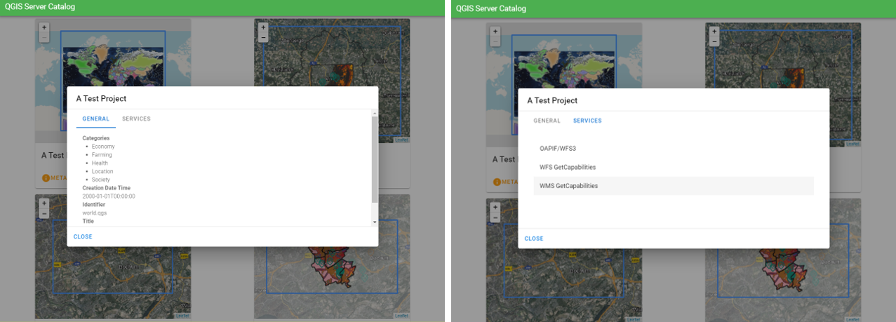
Fig. 4.2 Server Catalog, metadata associated to a project and services (links to) that it provides.
By browsing a project, it is listed the dataset that it serves.
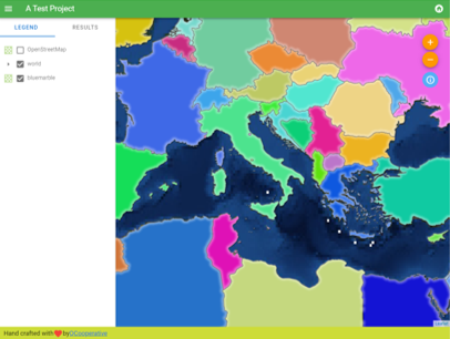
Fig. 4.3 Browsing a dataset served by a project in the Server Catalog
Use o clique direito sobre uma camada para exibir a tabela de atributos associada a ela.
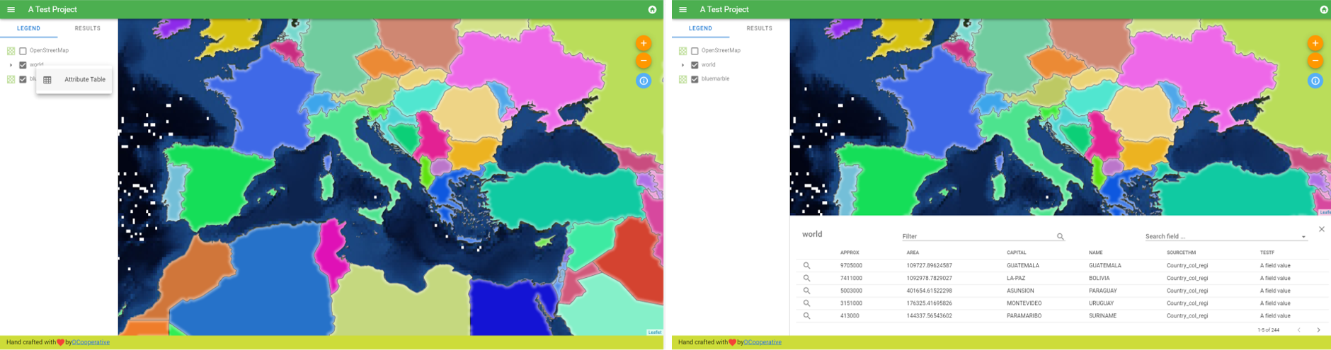
Fig. 4.4 Tabela de atributos associados a uma camada
É possível consultar as informações dos elementos do mapa, como mostrado na imagem abaixo:
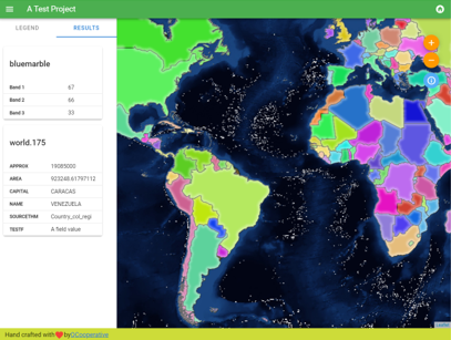
Fig. 4.5 Consulting information of a map element